Sorry to be late posting but it was a long great day, one that started out in nice cool temps but ended in much warmer ones.
Before leaving Groveland, we wandered out to the street in search of breakfast which we found right next to the Iron Gate Saloon, two doors down from the hotel. Groveland is a small and very unique community. In front of all of the businesses, each has contributed a dressed up “scarecrow” as they approach October. They celebrate a lot of things it seems, including Movie Night in the Park, the Library and countless other get togethers as we noted by all of the posters.
Waltzing Matilda here was the scarecrow in front of the Iron Gate Saloon but there were many more.
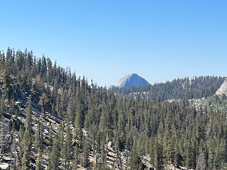
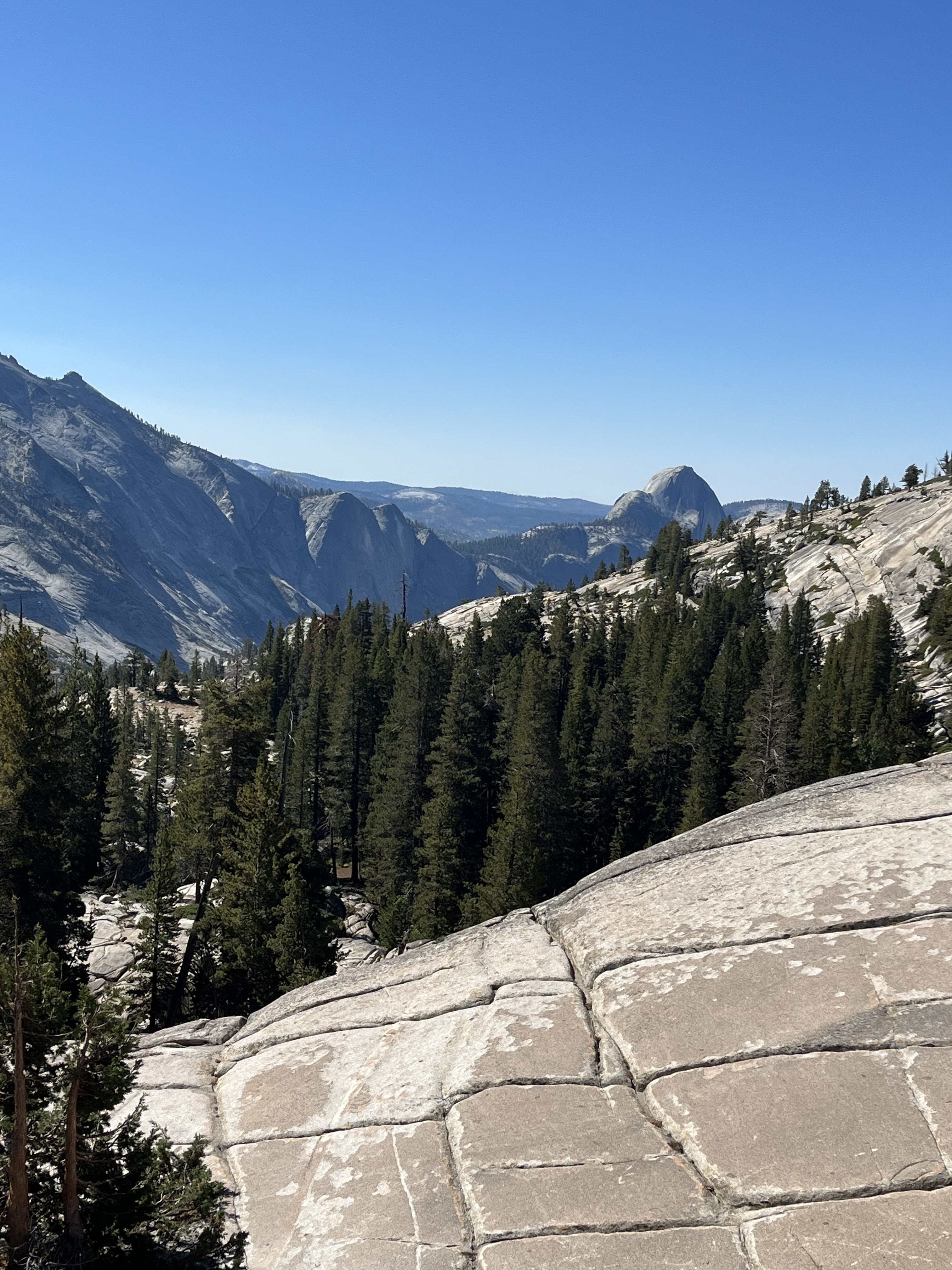
We headed out to Yosemite, knowing it was going to be a long day, not due to distance but the many stops along the way for photos. We were not wrong. Fortunately we encountered many really nice people along the way, one of whom told us about some good spots to stop. Not only did we stop there but we met him several times along the way as he was showing a friend from out of town some of the same sites. What was nice is that he was able to also give us some insight and historical background on some of the areas. We go some great pics but I will post at the bottom and identify them.
As we left Yosemite, the east gate indicated that we were at 9945 ft….so far our highest peak. Many of the higher peaks remained but you can’t ride them, you can only hike them.
As we started out descent towards Lee Vining the roads were wide with big sweeping turns. A great deal of fun and less hairy than the road we took going up to Groveland.
At one point it opened up into the great big deep rock canyon or valley, where there was a waterfall (in the distance), and you could see the road we were headed to on the side of a hill which, quite frankly, from a distance looked like a road a kid would make on a hill of sand with their Tonka truck. Some of these areas we actually had to take video just to get in all of what the area looked like…stunningly huge! We got to Lee Vining where we had a great lunch and topped up the bike tanks and then headed towards Benton for the next leg of our trip…..Holy Mackerel! I think we both agree that this was really the best ride and offered some of the best sights as well.

Again, pictures are hard to scale especially when they are from a distance. Firstly we rode around a crater lake, this brought us around and into a wide open golden valley where you could see the rain clouds and the rain on both sides of the valley, you could even see communities 15 km away. The road was straight except for the “dip” signs. The road dipped and rose like a roller coaster for almost 10 kms…it was a blast. The first ones were smaller and you could see them coming. The last ones were thrilling as the rise was quick and you couldn’t see over the top so you weren’t sure which way the road swung, or if it was flat or if you were in for another thrill! As we came over the last crest we opened up into another valley, this one was flat, and green with the mountains high above it. We had just passed a sign that said 7000 ft elevation. So here we are 7000 ft in elevation, looking at another set of high mountains and all I could think of was that we were just seeing the top of the iceberg….we weren’t even at the foot of the mountains. It is astonishing to think of how vast North America is and how diverse it’s landscape is. There is definitely not a lot of sameness (except on the Interstates or TCH). The other thing is that each elevation has its’ own lakes, valleys and communities. Most of these areas are ranch lands were free range is part of the culture. It is a step back in time except for the solar farms and power grids….untouched in other ways.
We ended the day in Tonopah, Nevada having crossed the state line just after leaving Benton. Today, Day 10, promises to be an interesting ride…the best part getting to see my family and take a few days to enjoy some downtime.


No comments:
Post a Comment